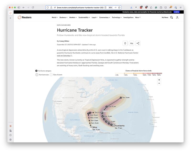
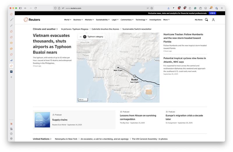
Here's a new twist for Reuters.com. This weekend, our team rolled out live, interactive maps that can track hurricanes and typhoons anywhere on Earth.
The latest forecasts for Typhoon Bualoi and the two storms now arcing through the Atlantic were broadcast across our homepage, embedded in our stories and featured on their own standalone trackers.
Drawing on official data sources, both foreign and domestic, our very own Casey Miller created bold visualizations that can be easily adapted to cover any future storm. They feature all the typical trappings, plus a few bells and whistles you won't find anywhere else.
Her work joins our expanding arsenal of automated coverage, a file that boasts hundreds of real-time plots tracking markets, economics, public opinion, and now extreme weather.
This release also marks the debut of our new mapping stack, an innovative open-source platform developed in partnership with Scott Reinhard using Protomaps, MapLibre and other free software.
It will serve as the foundation for all Reuters mapping projects in the future, including a major one now in development that I'm eager to share.
We're also planning to release more information about how we stood up a low-cost alternative to expensive, commercial mapping services, so others can learn from our efforts and consider the same path.